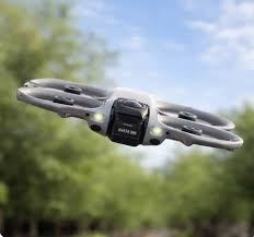
The DJI Avata 360 is an advanced FPV drone equipped with 360-degree camera capabilities, designed for immersive, full-spectrum aerial documentation and exploration. With seamless FPV flight control, real-time 360 video streaming, and exceptional stabilization, it excels at capturing complete environmental coverage for interior walkthroughs, virtual tours, creative storytelling, and complex site documentation. The 360 perspective provides unparalleled immersion and comprehensive visual data, making it ideal for premium real estate presentations, industrial inspections, and innovative content creation that demands full spatial awareness.
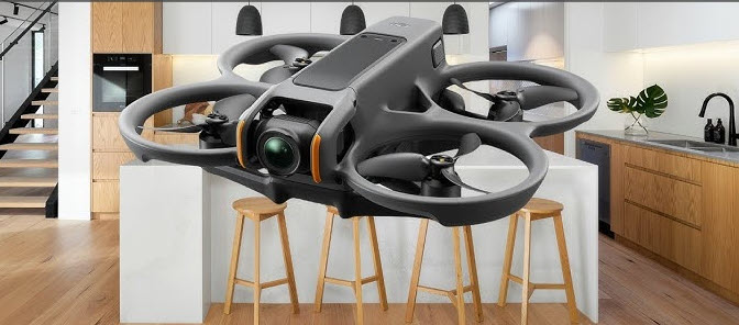
The DJI Avata 2 is a compact, agile FPV drone designed for immersive first-person flight experiences, making it ideal for capturing dynamic, cinematic footage in tight or complex environments. With improved stabilization, a wide-angle 4K camera, and enhanced safety features, it excels in high-speed, low-altitude flights for action sequences, indoor fly-throughs, and creative real estate or promotional videos.
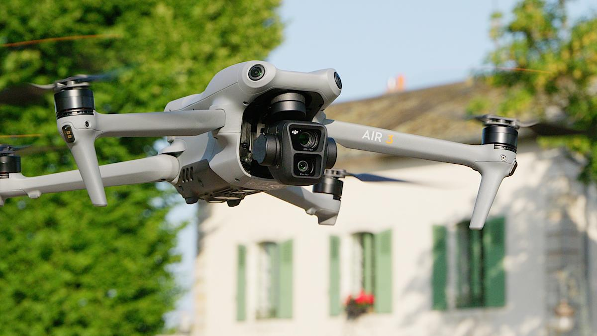
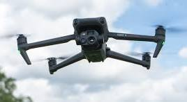
The DJI Air 3 offers a powerful balance of portability and performance with its dual-camera system—featuring wide-angle and 3x medium telephoto lenses—making it versatile for both sweeping landscapes and detailed subject framing. With 4K/100fps video, extended flight time, omnidirectional obstacle sensing, and advanced subject tracking, it’s a reliable tool for general aerial photography, mapping, inspections, and social media content creation.
The DJI Mavic 3E is engineered for high-precision mapping and surveying, equipped with a 20MP wide camera with a mechanical shutter to eliminate motion blur and support rapid image acquisition. Paired with RTK module compatibility and extended battery life, it delivers efficient, accurate 2D and 3D mapping for construction, land development, and GIS applications.
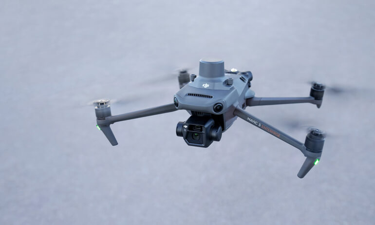
The DJI Mavic 3T is optimized for thermal imaging applications, integrating a 48MP visual camera, a high-resolution 640×512 thermal sensor, and 56× hybrid zoom capability. Designed for public safety, infrastructure inspections, and search and rescue missions, the M3T delivers precise thermal and RGB data capture, making it indispensable for critical operations requiring fast, actionable insights. Its advanced thermal capabilities also make it ideal for building envelope evaluations, roof moisture detection, and solar inspections—enabling operators to quickly identify faulty panels, hotspots, or efficiency losses across large solar arrays with accuracy and efficiency.
The DJI Matrice 4E is a professional-grade industrial drone engineered for demanding infrastructure inspection and mapping operations. Built with robust construction, advanced obstacle sensing, and reliable performance standards, it delivers exceptional capabilities in challenging industrial environments including utility inspections, infrastructure assessments, and precision mapping missions. With precise stabilization, high-quality imaging, payload integration with Manifold and integrated lighting, and extended flight capabilities, the M4E excels at infrastructure inspections, vertical structure assessments, mapping and orthomosaic generation, and critical operations requiring dependable performance and professional-grade geospatial data collection in industrial settings.
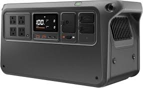
The DJI Power 1000 V2 builds upon the original Power 1000 with significant performance enhancements while maintaining the same 1024Wh capacity. The V2 delivers 2600W continuous output compared to the original’s 2200W, plus doubles the AC outlets from two to four for greater versatility. Additional improvements include significantly faster charging, upgraded USB-C ports to 140W, added Bluetooth and WiFi connectivity, improved battery longevity, and enhanced UPS mode. For drone pilots and field professionals requiring reliable off-grid power with superior performance, up to 11.2kWh of expandable capacity with expansion batteries, and dedicated XT60 DJI battery charging ports, the Power 1000 V2 is the evolved solution that delivers meaningful upgrades for intensive field operations and extended deployments.
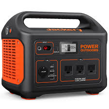
The Jackery Explorer 1000 is a portable, high-capacity power station that provides reliable off-grid power for drone operations in the field. With multiple output ports, including AC, USB-A, USB-C, and a 12V car outlet, it enables simultaneous charging of multiple drone batteries, remote controllers, tablets, and other essential equipment. Its 1002Wh lithium battery capacity ensures extended runtime, supporting operations in remote locations without access to traditional power sources. Quiet, emission-free, and solar-compatible, the Jackery 1000 enhances field efficiency and ensures continuous productivity during long flight sessions or multi-day projects.
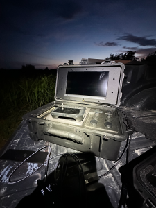
Experience real-time mission monitoring with our customized customer interaction screen. This dedicated display allows clients to view live drone footage, flight telemetry, and mission progress in real-time during operations. The interactive interface provides transparency and engagement, letting you see exactly what we see as we capture your aerial content, conduct inspections, or perform mapping missions. This professional touch ensures you’re always informed and involved throughout the entire flight operation.